![[First]](navandbckgrndimages/new1_first.png) |
![[Prev]](navandbckgrndimages/new1_prev.png) |
![[Next]](navandbckgrndimages/new1_next.png) |
![[Last]](navandbckgrndimages/new1_last.png) |
 |
 |
 |
 |
 |
 |
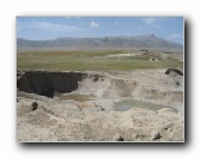
| Buha River km 14 measured section- probably T2 b 649 X 487 38 KB |
Buha River km 14 measured section - probably T2 c 649 X 487 60 KB |
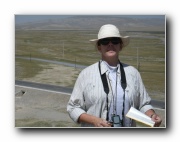
Xu Hi 649 X 487 53 KB |
CAR 649 X 487 48 KB |
Xu Hi 2 649 X 487 49 KB |
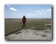
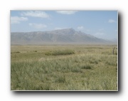
View from terrace along middle Buha Rive -- near km 11 a 649 X 487 50 KB |
 |
 |
 |
 |
 |
 |
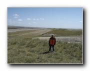
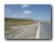
| View from terrace along middle Buha Rive -- near km 11 b 649 X 487 48 KB |
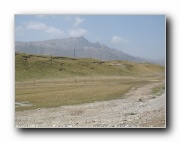
View from terrace along middle Buha Rive -- near km 11 v 649 X 487 51 KB |
Buha River measured section - Tianjum Ter - probably T2 a 649 X 487 64 KB |
Buha River measured section - Tianjum Ter - probably T2 b 649 X 487 40 KB |
Buha River measured section - Tianjum Ter - probably T2 c 649 X 487 101 KB |
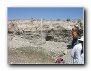
Crossbedded Cgl inPit below Tianjun Ter - probably T1 649 X 487 84 KB |