![[First]](navandbckgrndimages/new1_first.png) |
![[Prev]](navandbckgrndimages/new1_prev.png) |
![[Next]](navandbckgrndimages/new1_next.png) |
![[Last]](navandbckgrndimages/new1_last.png) |
 |
 |
 |
 |
 |
 |
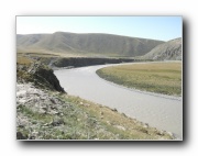
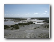
| Buha River 04 - first major meander 649 X 487 63 KB |
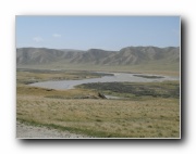
Buha River 05 649 X 487 51 KB |
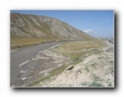
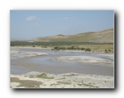
Buha River 06 - tranisitional morphology 649 X 487 42 KB |
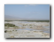
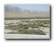
Buha River 07 649 X 487 40 KB |
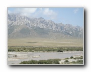
Buha River 08 649 X 487 42 KB |
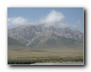
Buha River 09 649 X 487 40 KB |
 |
 |
 |
 |
 |
 |
| Buha River 10 649 X 487 39 KB |
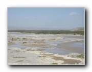
Buha River 11 649 X 487 55 KB |
Buha River 12 649 X 487 61 KB |
Buha River 13 649 X 487 43 KB |
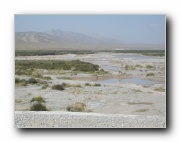
Buha River 14 - most downstream photo 649 X 487 35 KB |
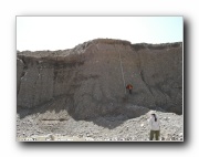
Buha River km 14 measured section - probably T2 a 649 X 487 58 KB |