![[First]](navandbckgrndimages/new1_first.png) |
![[Prev]](navandbckgrndimages/new1_prev.png) |
![[Next]](navandbckgrndimages/new1_next.png) |
![[Last]](navandbckgrndimages/new1_last.png) |
 |
 |
 |
 |
 |
 |
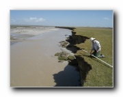
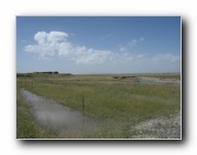
| Buha River measured section - downstream of Tianjum Ter - probably T2 487 X 649 63 KB |
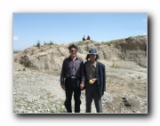
Tibetian Locals at Buha River measured section - downstream of Tianjum Ter 649 X 487 69 KB |
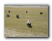
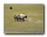
Yaks a 649 X 487 57 KB |
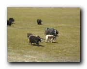
Yaks b 649 X 487 69 KB |
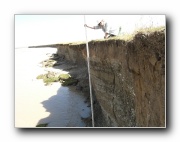
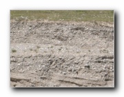
Buha River - Modern Cutbank Exposure a 649 X 487 65 KB |
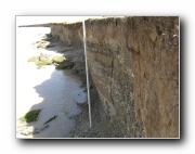
Buha River - Modern Cutbank Exposure b 649 X 487 53 KB |
 |
 |
 |
 |
 |
 |
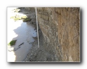
| Buha River - Modern Cutbank Exposure c 649 X 487 65 KB |
Buha River - Modern Cutbank Exposure d 649 X 487 69 KB |
Buha River - Modern Cutbank Exposure e 649 X 487 40 KB |
Buha River - pit in lowest terrace a 649 X 487 39 KB |
Buha River - pit in lowest terrace b 649 X 487 67 KB |
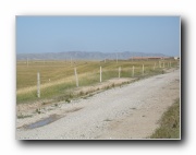
Buha River - vegetated terrace along gravel road - probably T2 a 649 X 487 46 KB |