![[First]](navandbckgrndimages/new1_first.png) |
![[Prev]](navandbckgrndimages/new1_prev.png) |
![[Next]](navandbckgrndimages/new1_next.png) |
![[Last]](navandbckgrndimages/new1_last.png) |
 |
 |
 |
 |
 |
 |
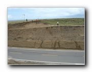
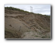
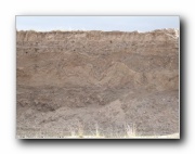
| Roadcut through Aeolian paleodunes on East Side of Lake d 649 X 487 44 KB |
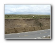
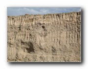
Roadcut through Aeolian paleodunes on East Side of Lake e 649 X 487 42 KB |
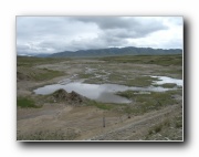
Braided River with Multiple Terraces -- East Side of Lake 649 X 487 59 KB |
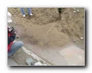
Outcrop in Cut bank of Braided River - East Side of Lake a 649 X 487 46 KB |
Outcrop in Cut bank of Braided River - East Side of Lake b 649 X 487 55 KB |
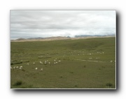
Sheep in pasture on East Side of Lake 649 X 487 33 KB |
 |
 |
 |
 |
 |
 |
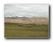
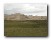
| Dune Field on East SIde of Lake a 649 X 487 32 KB |
Dune Field on East SIde of Lake b 649 X 487 34 KB |
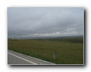
View of Atomic City a 649 X 487 21 KB |
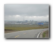
View of Atomic City b 649 X 487 27 KB |
Ice Wedging in pit exposure at 75km on West Side of Lake a 649 X 487 54 KB |
Ice Wedging in pit exposure at 75km on West Side of Lake b 649 X 487 89 KB |