![[First]](navandbckgrndimages/new1_first.png) |
![[Prev]](navandbckgrndimages/new1_prev.png) |
![[Next]](navandbckgrndimages/new1_next.png) |
![[Last]](navandbckgrndimages/new1_last.png) |
 |
 |
 - flat pebble beach conglomerate in outcrop.jpg) |
 |
 |
 |
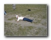
| Sunning on the beach -- on the flat-pebble beach gravels between NBeachRdg1 and NSideRidge1 - photo 2 649 X 487 76 KB |
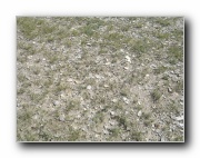
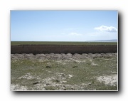
Flat-pebble beach gravels between NBeachRdg1 and NSideRidge1 649 X 487 116 KB |
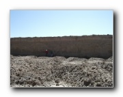
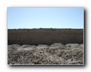
NSideBeachRdg2 (same as RidgeN1 and 1a) - flat pebble beach conglomerate in outcrop 649 X 487 82 KB |
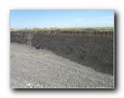
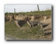
75km Pit - overview of section showing ice wedging and involution - photo 1 649 X 487 59 KB |
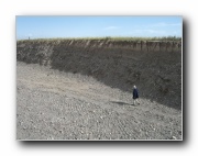
75km Pit - overview of section showing ice wedging and involution - photo 2 649 X 487 54 KB |
75km Pit - overview of section showing ice wedging and involution - photo 3 649 X 487 51 KB |
 |
 |
 |
 |
.jpg) |
 |
| Shaluie delta region Pit -- rounded fluvial gravels - photo 1 649 X 487 70 KB |
Shaluie delta region Pit -- rounded fluvial gravels - photo 2 649 X 487 77 KB |
Shaluie River - loess overlying tilted older strata - photo 1 649 X 487 89 KB |
Shaluie River - loess overlying tilted older strata -photo 2 649 X 487 76 KB |
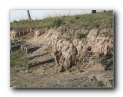
Shaluie River - possible burial mounds (like chulpas) 649 X 487 53 KB |
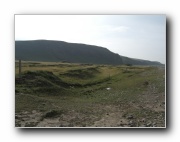
Shaluie River -possible dissected T1 terrace 649 X 487 45 KB |