![[First]](navandbckgrndimages/new1_first.png) |
![[Prev]](navandbckgrndimages/new1_prev.png) |
![[Next]](navandbckgrndimages/new1_next.png) |
![[Last]](navandbckgrndimages/new1_last.png) |
 |
 |
 |
 |
 |
 |
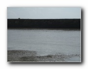
| Downstream Terrace on S side of Buha - cut into delta region 649 X 487 40 KB |
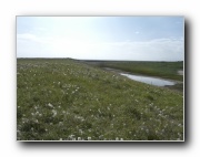
Aeolian sand filling in channel on N side of Buha in delta region 649 X 487 58 KB |
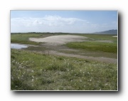
Possible Beach Ridge on N side of downstream Buha - in delta region - photo a 649 X 487 56 KB |
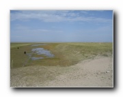
Possible Beach Ridge on N side of downstream Buha - in delta region - photo b 649 X 487 34 KB |
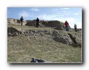
NSideBuhaTer1 - Overview of students on top of section 649 X 487 78 KB |
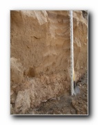
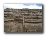
NSideBuhaTer1 - Base of section 487 X 649 63 KB |
.jpg) |
 |
 |
 |
 |
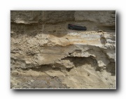 |
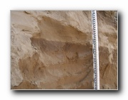
| NSideBuhaTer1 - Lower part of section showing contact between floodplain sediments and sands (includes flame structures) 487 X 649 52 KB |
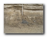
NSideBuhaTer1 - Soft Sediment Deformation structures 649 X 487 54 KB |
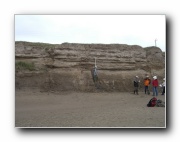
NSideBuhaTer3 - Section Overview - Photo 1 649 X 487 41 KB |
NSideBuhaTer3 - Base of section 649 X 487 74 KB |
NSideBuhaTer3 - Top of section 649 X 487 64 KB |
NSideBuhaTer3 - Ripple-laminated sand and silt 649 X 487 72 KB |